

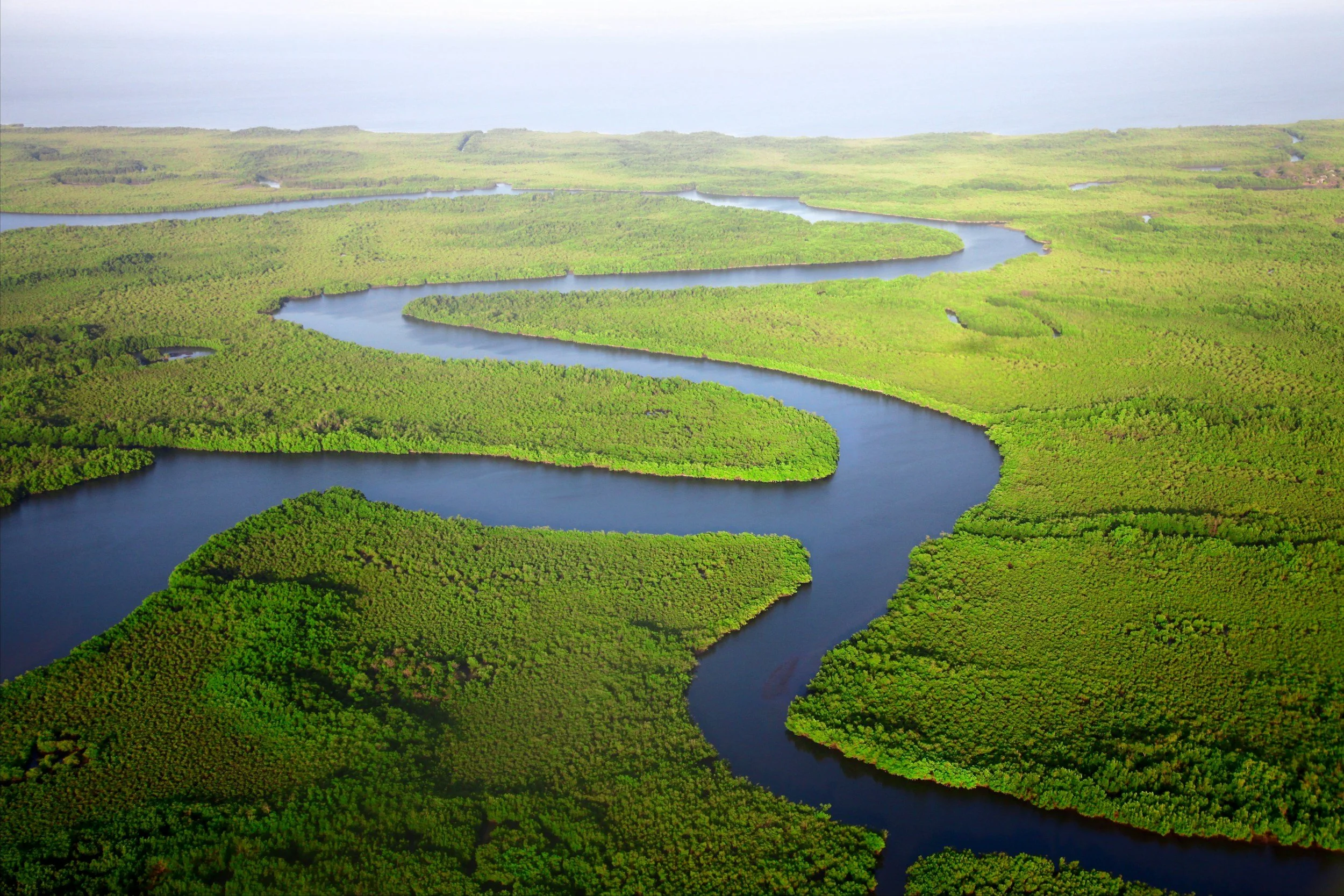
Flood Modelling
Raincloud provides specialist flood modelling services to support planning applications, Flood Risk Assessments and Flood Consequence Assessments or feasibility studies for infrastructure developments throughout the UK.
Our experienced team delivers robust modelling studies that help developers, architects, planners and local authorities understand flood risk and satisfy planning and regulatory requirements. Whether you require hydrological modelling, 1D/2D hydraulic modelling, or detailed rainfall-runoff modelling, we can provide a tailored solution to meet the needs of your project.
Hydrological Analysis
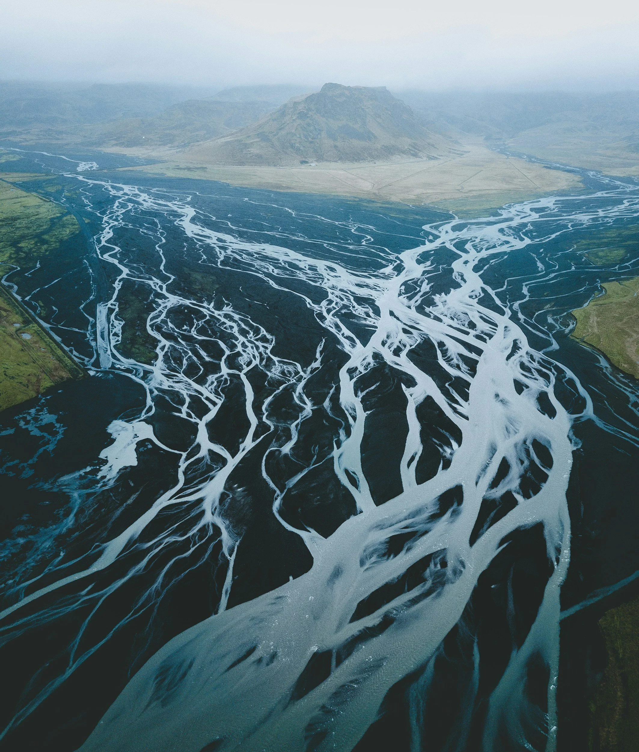
Hydrological analysis is used to estimate how rainfall translates into flows within a catchment and watercourse. It forms the foundation of flood modelling studies, providing the flow estimates required for subsequent hydraulic modelling.
At Raincloud, we undertake hydrological assessments using industry-standard methodologies (Flood Estimation Guidelines) and software (WINFAP 5 and ReFH2) to determine peak flows for a range of flood events, including climate change scenarios. Our hydrological modelling services can support planning applications and flood risk studies.
Our hydrological modelling services include:
Catchment analysis and delineation
ReFH2 and FEH-based flow estimation
Climate change assessments
Ungauged and gauged catchment assessments
Inflow estimation for hydraulic models
By establishing reliable flow estimates, hydrological modelling provides the basis for understanding flood risk both now and in the future.
Hydraulic modelling
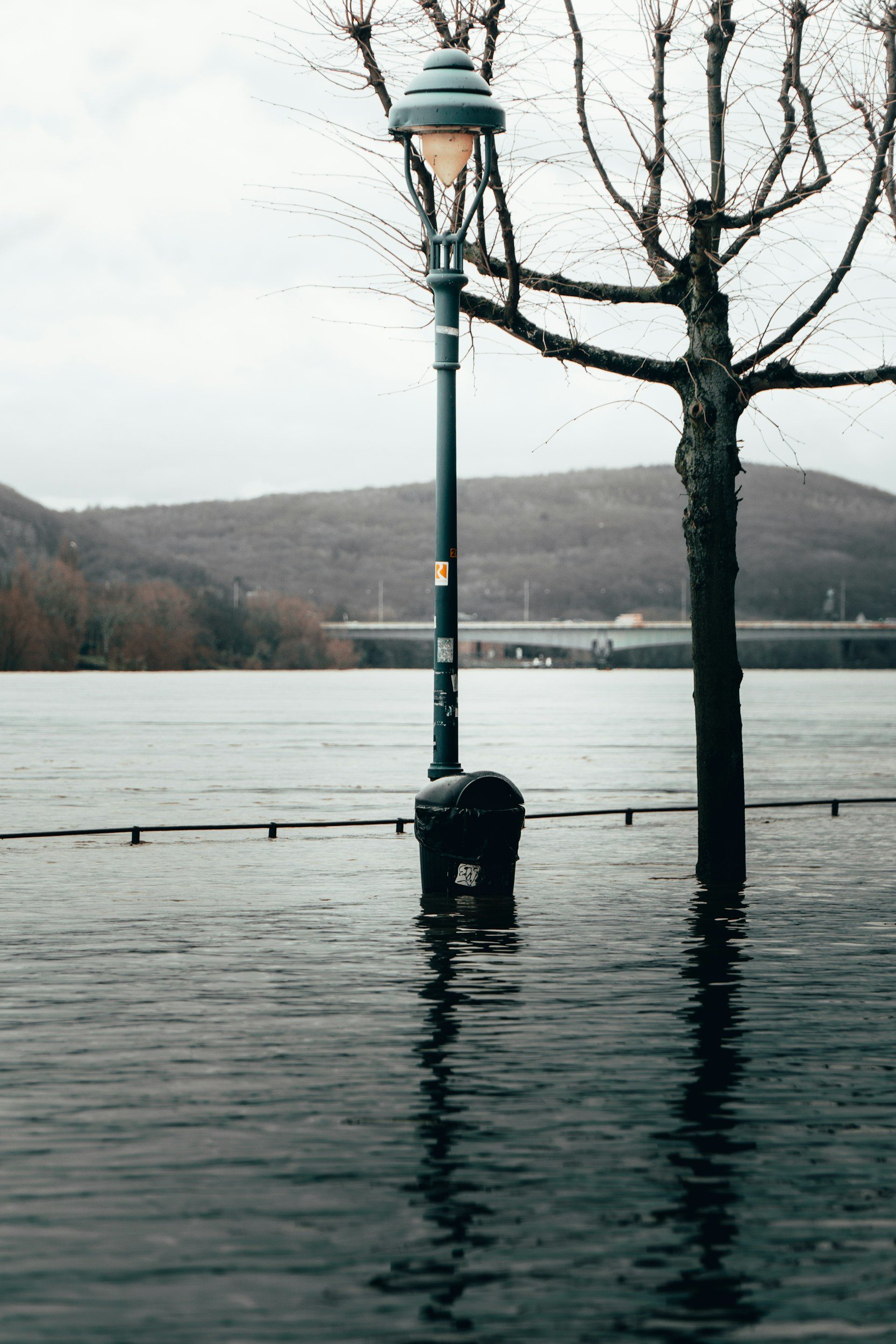
Hydraulic modelling is used to simulate how water moves through rivers, floodplains, drainage systems and other watercourse networks during flood events.
Raincloud develops detailed 1D/2D hydraulic models to assess flood risk and support planning applications in accordance with regulatory and planning requirements. These models can be used to predict flood levels, flood extents, flow pathways and flood depths across a site and surrounding area.
1D/2D hydraulic models provide a detailed representation of flood behaviour within the river channel, across the floodplain and proposed development. They allow water to move across the modelled terrain, providing a highly detailed assessment of flood depths, flow velocities and flood hazard.
Our hydraulic modelling services can support:
Flood Risk Assessments
Flood Consequence Assessments
Planning applications
Development feasibility studies
Culvert and bridge assessments
Flood mitigation design
Flood storage calculations
Challenge existing flood maps (if applicable)
Natural flood management projects
By understanding how floodwater behaves during different storm events, hydraulic modelling helps ensure developments remain safe and resilient throughout their lifetime.
Rainfall runoff modelling
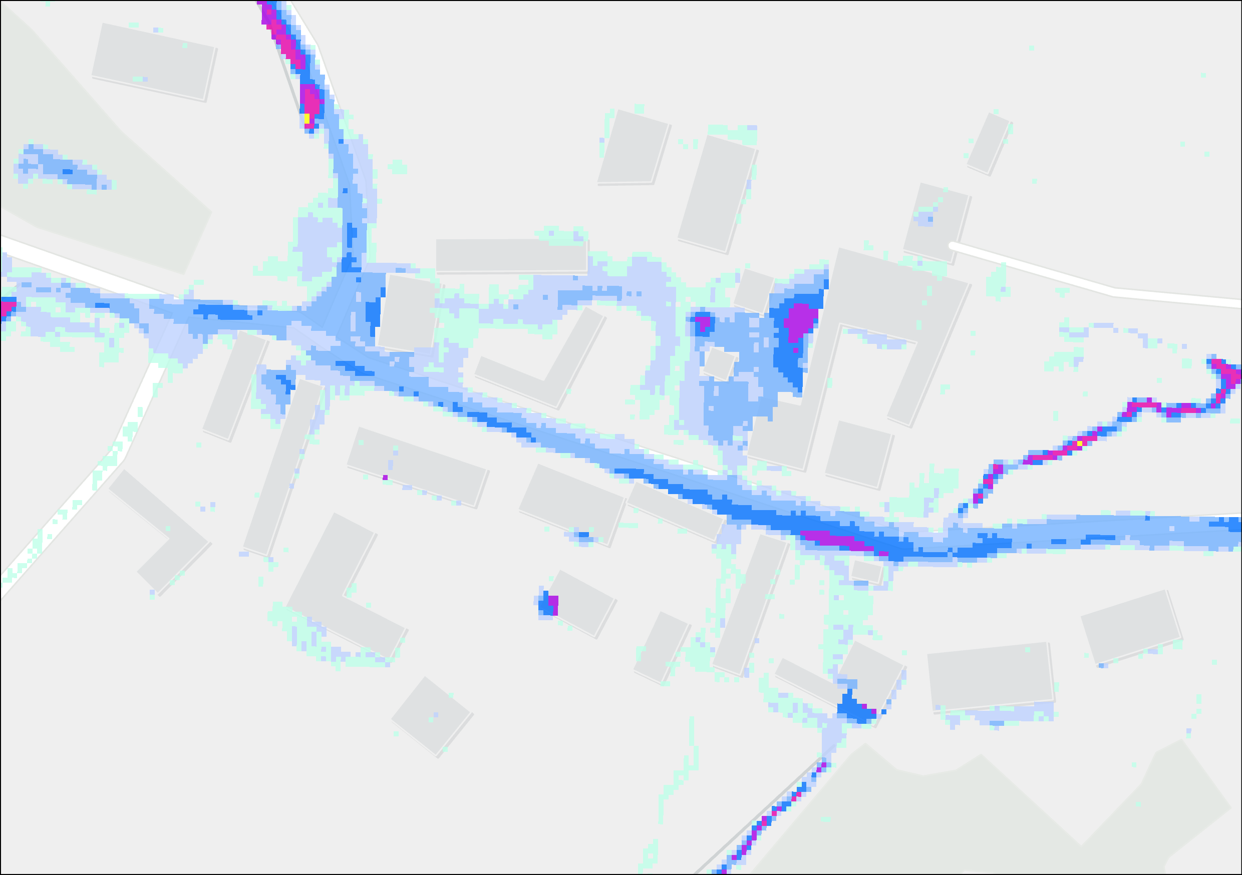
Rainfall modelling, sometimes referred to as direct rainfall modelling, is used to assess flood risk arising from intense rainfall events and surface water runoff.
Using 2D modelling techniques, Raincloud can simulate rainfall directly across a catchment or development site to identify overland flow routes, ponding locations and areas susceptible to surface water flooding.
Rainfall modelling is particularly valuable where flooding does not originate from a main river and where complex overland flow processes need to be understood.
Our rainfall modelling services can help:
Assess surface water flood risk
Support Flood Risk Assessments
Inform site layout and masterplanning
Design flood mitigation measures
Assess exceedance flow routes
Support drainage and SuDS strategies
Challenge existing flood maps (if applicable)
Detailed rainfall modelling can provide critical information for developments where surface water flooding is a key planning consideration.
Frequently Asked Questions (FAQs)
-
Flood modelling is the process of using specialist software and survey data to simulate how water behaves during flood events. It helps predict flood depths, flood extents, flow velocities and flood hazards for a range of rainfall and river flow scenarios.
Flood modelling can be required to support planning applications, Flood Risk Assessments and Flood Consequence Assessments where a detailed understanding of flood behaviour is needed. It can also be used to demonstrate that a proposed development will remain safe from flooding and will not increase flood risk elsewhere.
At Raincloud, we provide flood modelling studies tailored to the needs of each project, helping clients satisfy planning requirements while developing practical and sustainable solutions to flood risk challenges.
-
Flood modelling may be required where a proposed development is affected by flood risk or where planning authorities require more detailed evidence than cannot be obtained from national flood mapping alone.
Common situations where flood modelling is required include:
Development within Flood Zones 2 or 3
An absence of a detailed EA model
Sites with complex flood risk issues
Developments adjacent to rivers, ordinary watercourses or coastal areas
Projects requiring flood level predictions for finish floor levels
Potential to increase flood risk elsewhere.
Flood mitigation and flood compensation schemes
Large residential, commercial, infrastructure and renewable energy developments
Flood modelling can help identify potential constraints at an early stage and support informed design decisions throughout the planning process.
-
Not every Flood Risk Assessment requires flood modelling. Many sites can be assessed using existing flood mapping or publicly available EA detailed modelling.
However, flood modelling may be necessary where site-specific flood levels, flood depths or detailed flood extents are required. It is often requested where existing information is limited, absent or where there is a need to demonstrate the impact of a proposed development on flood risk.
Raincloud can undertake an initial review of your site and advise whether flood modelling is likely to be required as part of your Flood Risk Assessment.
-
The information required for hydraulic flood modelling will vary depending on the nature and complexity of the project.
Typical datasets may include:
Topographical survey data
River channel survey data
Culvert and structure surveys
Catchment and hydrological information
LiDAR data
Environment Agency, SEPA or NRW datasets
Site layout and development proposals
At Raincloud, we review available information at the outset of the project and advise on any additional survey or data requirements needed to complete the modelling study efficiently.
-
The timescale for a flood modelling study depends on the complexity of the site, data availability and the scope of modelling required.
At Raincloud, we aim to deliver flood modelling projects as quickly as possible while maintaining the technical quality required for planning and regulatory submissions. Simpler studies can often be completed within a matter of weeks, while larger and more complex projects may require additional time for surveys, data collection, model development and verification.
We will always provide an indicative programme at quotation stage and keep clients informed throughout the project.
-
The cost of flood modelling varies depending on several factors, including the size of the study area, the type of modelling required, the availability of survey data and the overall complexity of the project.
Raincloud provides competitive, fixed-fee quotations tailored to the specific requirements of each project. Following an initial review of your site and development proposals, we will recommend the most appropriate scope of work and provide a transparent quotation with no hidden costs.